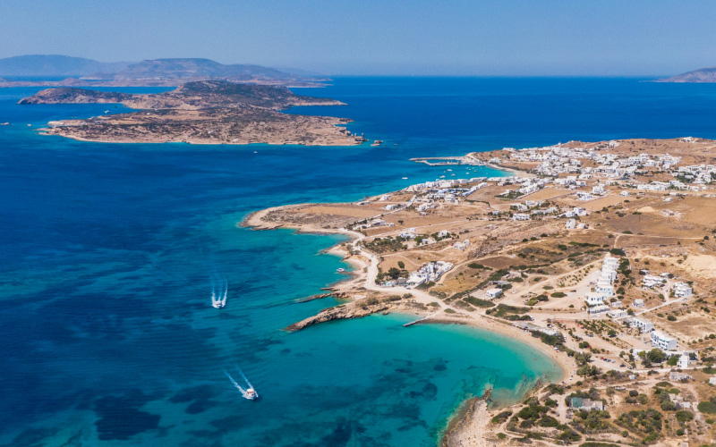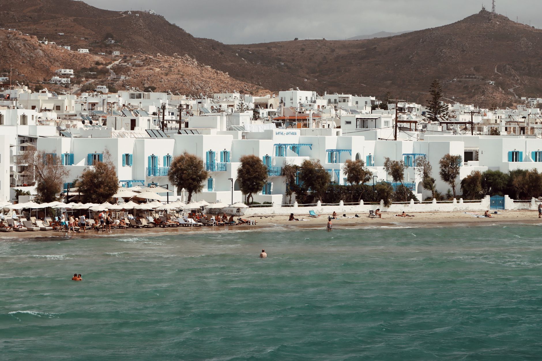
Sponsorizzato da Booking.com
Last updated: 27 August 2026 · Beach guide
Milos has more swimming days than it has parking spaces. The island’s coastline is volcanic and uneven: a moon-white shelf at Sarakiniko, a ladder into Tsigrado, organised sand at Firiplaka and Palochori, and a sea-cave cathedral at Kleftiko that you cannot drive to. The skill is not collecting names. It is matching access type to your group, and matching coast to the day’s wind.
This 2026 guide covers the beaches most travellers actually choose, how you reach them, and the south-coast Plan B when the meltemi is up. Pair it with the Milos island guide, where to stay in Milos, and the Milos boat-tours guide. Schedules for tours and island buses are seasonal — verify locally.
Need a car? Most land beaches are awkward by bus. Compare Milos car rental. Arriving by sea? Track the ship on ferry tracking and use Piraeus to Milos as the Athens default.
How to read this list
Access keys used below:
- Drive-and-walk: parking plus a short path.
- Steep / scramble: ropes, ladders, or loose rock.
- Boat only: no useful road access for swimming that cove.
- Organised: sunbeds or tavernas in season (hours vary).
There is no shade at several of the famous stops. Carry water, shoes you can swim in, and a layer for the northerly. Milos sun in July is not a gentle warmup.
Quick comparison
| Beach | Coast | Access | Best for | Meltemi note |
|---|---|---|---|---|
| Sarakiniko | North | Drive-and-walk | Photos, short swims | Exposed; go early |
| Tsigrado | South | Steep / scramble | Adventure cove | South helps in a northerly; ladder still risky in gusts |
| Firiplaka | South | Drive-and-walk | Long swim, mixed crowds | Good Plan B |
| Palochori | South | Drive-and-walk | Tavernas, families | Good Plan B |
| Kleftiko | Southwest | Boat only | Sea caves, snorkel | Weather dependent |
| Sikia | West | Boat only | Cave light | Same boat day as Kleftiko on many itineraries |
| Papafragas | North | Walk / viewpoint | Gorge photos | Wind and swell on the north |
| Provatas | South | Drive-and-walk | Easy sand | Sheltered-leaning |
| Achivadolimni (Hivadolimni) | Southwest | Drive-and-walk | Long quiet sand | Check wind direction |
| Firopotamos | North | Drive-and-walk | Syrmata, snorkel | North coast |
| Mandrakia | North | Drive-and-walk | Colourful boathouses, lunch | North coast |
Sarakiniko
Sarakiniko is the white volcanic shelf everyone has already seen on a screen. The rock is smooth, the water is clear, and there is almost no natural shade. Access: drive from Adamas (about 10 minutes), park, walk down. In peak hours the parking fills; dawn is the civilised window for photographs and for finding space to put a bag down.
Swim off the shelves rather than expecting a long sandy strand. The north aspect means a established meltemi throws spray and makes the rocks feel colder. If the forecast is already noisy, swap to Firiplaka and keep Sarakiniko for a calmer morning.
Tsigrado
Tsigrado is a tight south-coast cove reached by a steep descent (rope and ladder on a cliff path). The swimming is excellent when the sea is settled. The access is the point of friction: one-way traffic on a ladder, people carrying bags, and no good place to pause.
Skip Tsigrado if you have toddlers, mobility issues, a fear of heights, or a strong wind forecast. Wear shoes with grip. Do not block the ladder for photos. Fyriplaka is next door if you want the same coast without the circus.
Firiplaka
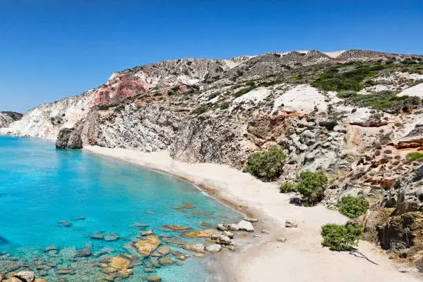
Firiplaka is the south-coast swimming beach that absorbs the island’s overflow. Pale sand, coloured cliffs, a more organised end in season, and a wilder stretch if you walk. Access: road and a walk; easier than Tsigrado by a wide margin.
This is a primary Plan B when the north is blown out. It is also a full beach day rather than a 40-minute photo stop. Bring more water than you think; the cliffs bounce heat.
Palochori (Paleochori)
Palochori is the south-coast village beach with tavernas, a longer sandy line, and a social atmosphere that Sarakiniko never had. Access: drive-and-walk, facilities in season. Good for travellers who want a meal without packing out every crumb.
Hot springs and volcanic colour sit in the same general coast — treat geothermal spots with common sense (they can be hot, slippery, and crowded). Palochori plus Firiplaka is a coherent south-coast day without a boat.
Kleftiko
Kleftiko is the white sea-cave complex on the southwest coast. Boat only. You do not “pop down” from a car park. This is the Milos day that justifies the ferry ticket for many visitors.
Book a licensed operator, ask about shade, swimming stops, group size, and the cancellation rule when the wind is up. Put Kleftiko early in the stay so the captain can move you a day. Full-day versus half-day, Adamas versus south-coast departures: see Milos boat tours. Track your inbound ferry the day before on ferry tracking so you do not book a 08:00 boat after a delayed night arrival.
Sikia and Papafragas
Sikia is a sea cave often paired with Kleftiko on west-coast boat itineraries. The light inside the collapsed cave is the reason people queue to swim through. It is not a road beach.
Papafragas is a narrow north-coast gorge and swimming slot near the Papafragas / Sarakiniko area, more viewpoint than lounge beach. The descent can be awkward; swell on the north coast closes the idea without debate. Go for the geology, not for a three-hour sunbed session.
Provatas
Provatas is a south-coast sandy beach with a gentler profile: easier entry, nearby stays, a calmer family rhythm. Access: drive-and-walk. It is not the postcard of Sarakiniko. It is where you actually swim when someone in the group has had enough of lava shelves.
If you are staying on the south (see where to stay in Milos), Provatas can be the default morning dip before a boat day.
Achivadolimni (Hivadolimni)
Achivadolimni — also spelled Hivadolimni — is a long southwest sandy beach near the airport lagoon. It feels more open and less “organised postcard” than Palochori. Access: drive. Windsurfers use this coast when the wind is right; swimmers should check whether the lagoon-side or sea-side is the day’s friendlier water.
It is a useful extra when Firiplaka is packed, not a replacement for Kleftiko.
Firopotamos and Mandrakia
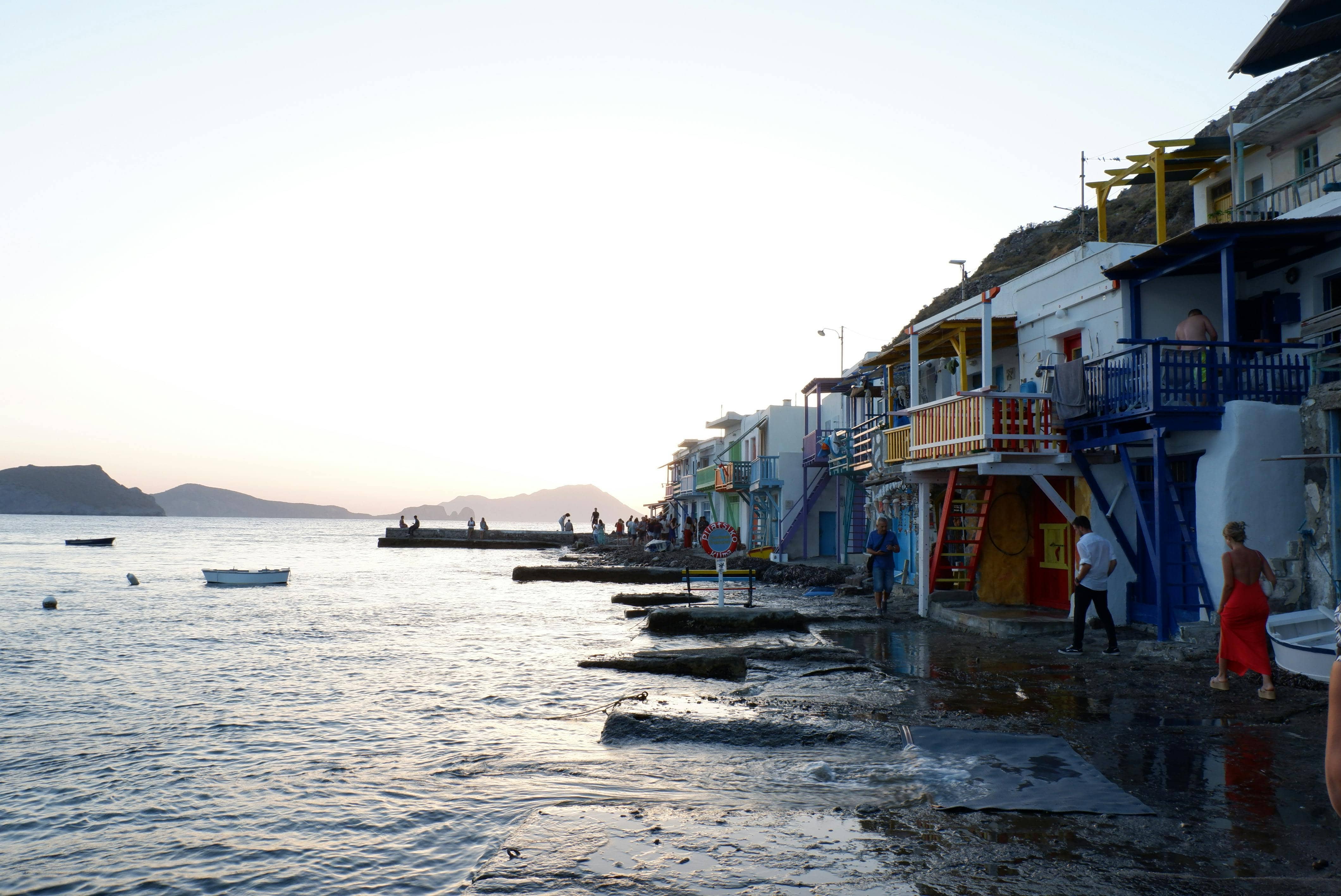
These are north-coast fishing coves with syrmata (boathouse) colour, small-scale swimming, and tavernas that work on a slow afternoon.
- Firopotamos: snorkel-friendly when the sea is down; north wind makes it choppy.
- Mandrakia: tiny, photogenic, better as a stop with lunch than as your only beach of the week.
Do not treat them as high-capacity beaches. Park considerately, keep the lanes clear for residents, and have a south-coast backup.
Meltemi: north vs south Plan B
Milos is small, but the two coasts disagree on a windy day.
When a northerly is established:
- Leave Sarakiniko, Papafragas, Firopotamos and Mandrakia for another morning.
- Drive south: Firiplaka, Palochori, Provatas, then Achivadolimni if you want space.
- Ask the boat office whether Kleftiko is on or moved. Do not assume a printed voucher overrides the sea.
When the sea is calm:
- Sarakiniko at first light.
- Ladder to Tsigrado only if the queue looks human.
- Keep the boat day on the calendar with a spare date behind it.
The same wind that cancels a high-speed ferry (meltemi guide) will also cancel a small Kleftiko craft. Your inbound route from Athens is almost always Piraeus to Milos, not Rafina.
When to go in 2026
- June: long days, water warming, fewer parking fights than August.
- July–August: maximum boat availability, maximum wind, maximum people on the Sarakiniko shelf at 11:00. Book boats and cars ahead.
- September: often the most balanced beach month if you can live with slightly shorter days. Details: Milos in September.
Island buses exist in season but will not get you to every cove on your own timetable. A car, or a tour that includes swimming stops, is the realistic design.
A three-day swimming outline
Day 1: Sarakiniko at sunrise, then Klima / Plaka for the evening. If the north is already white with chop, invert: south beaches first.
Day 2: Kleftiko (and Sikia if offered). Weather-move this day, not your last morning.
Day 3: Firiplaka + Tsigrado or Palochori + Provatas. Firopotamos or Mandrakia only if the wind map agrees.
Four or five days is kinder. The things to do in Milos list covers catacombs and villages once you have had enough salt.
Frequently asked questions
Can I see Kleftiko without a tour?
Not in any comfortable legal sense. Private skippers exist; they are still boats, still weather-bound, and still not a hike. Do not attempt cliff descents to “secret” Kleftiko access.
Are the beaches free?
Public shore is public. Sunbeds, umbrellas and taverna tables are paid in season where they exist. Sarakiniko has no meaningful organised layer — you bring everything.
Is Milos good for families?
Yes on Palochori, Provatas, Firiplaka and organised south sand. No on Tsigrado’s ladder and no on unsheltered north shelves in a strong northerly. Choose the day’s coast first, the famous name second.
How do I get to Milos?
Fly seasonally into Milos, or sail. The standard Athens port is Piraeus. Verify the day’s ship on ferry tracking and browse direct routes.
For the rest of the island, start with the Milos guide. For the water day that is not a beach car park, use Milos boat tours.
Organizza il viaggio
Pianifica le date a Milos
Organizza traghetto, soggiorno e trasporti locali prima che le date più richieste si esauriscano.
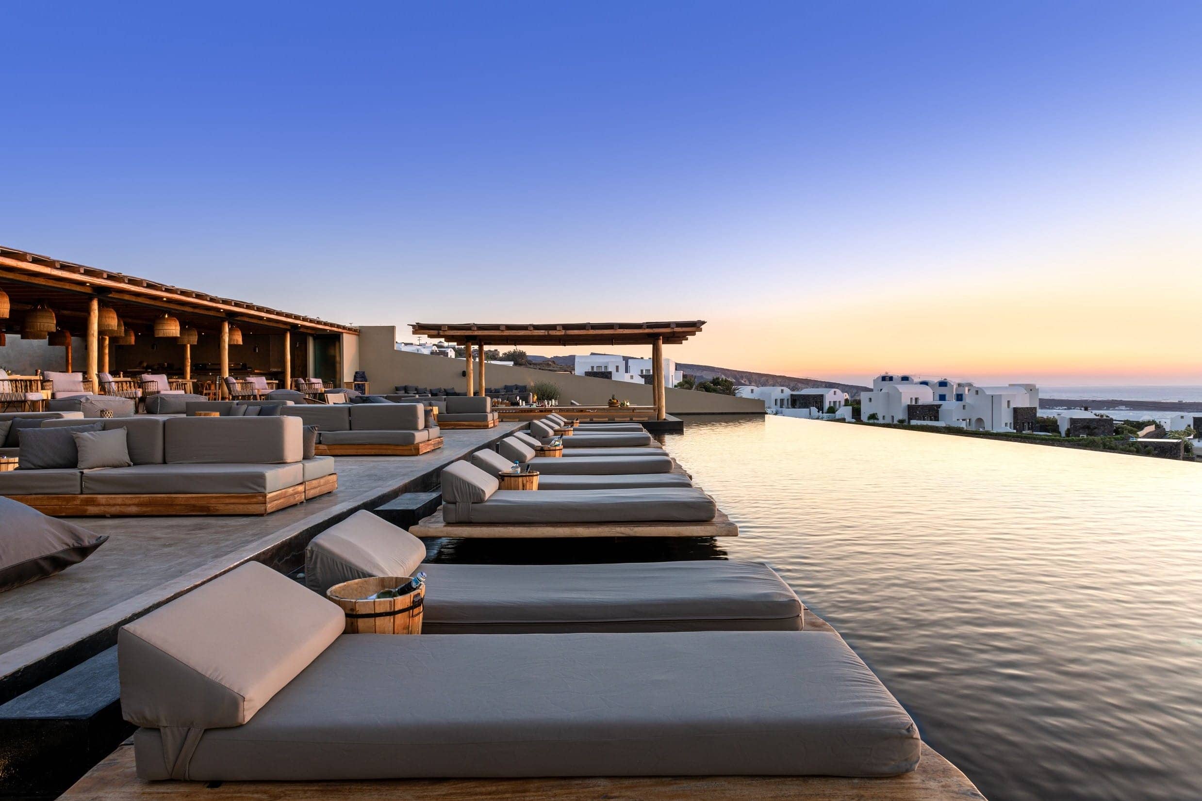
Athina Luxury Suites
Suite con vista sulla caldera a Fira, con piscina a sfioro e cucina raffinata.
Parte del team editoriale di Discover Cyclades: gente del posto che traghetta, fa escursioni, mangia e scrive su queste isole ogni stagione.